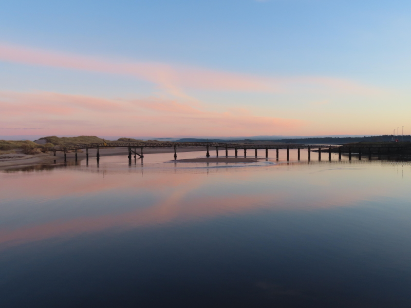
Lossiemouth is blessed with two fantastic beaches – the East Beach and the West Beach.
Access to the West Beach has not always been straightforward although there is a convenient public car park at its east end. Large stones washing up on the concrete ramps which provide pedestrian access can make the start and end of a walk to Covesea Lighthouse challenging.
The problem with access to the East Beach has become widely known.
(In case you don’t know, the pedestrian bridge was closed to the public from July 2019 due to safety concerns).
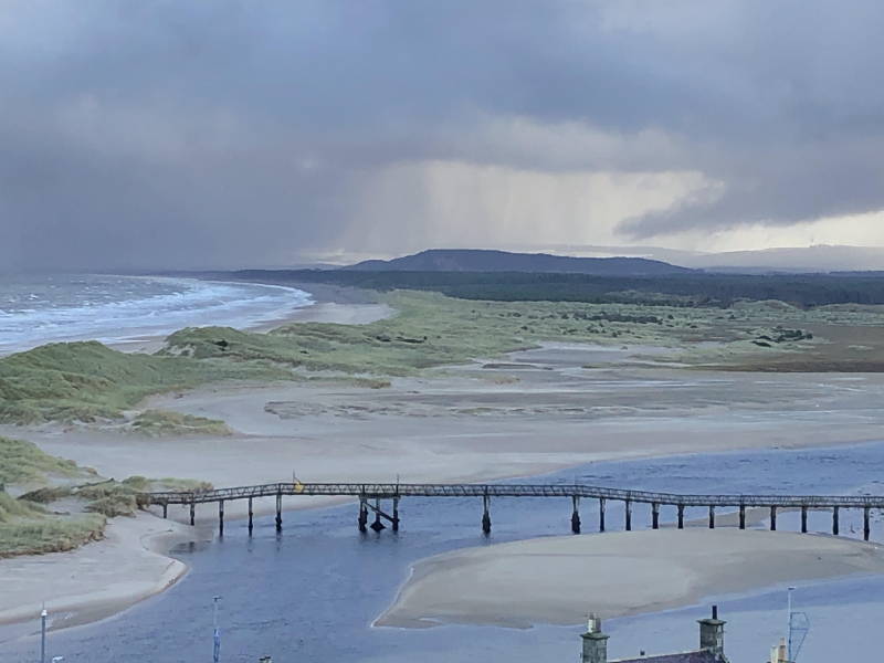
But if you’re not familiar with the unusual course of the River Lossiemouth in its lower reaches – running parallel to the coastline for a mile or two – it can be a bit difficult to understand how exactly the access problem has arisen. Essentially, the East Beach is a peninsula of sand (running east to west) which ends just short of Lossiemouth Esplanade because the mouth of the River Lossie cuts through the dunes (flowing south to north) at that point.
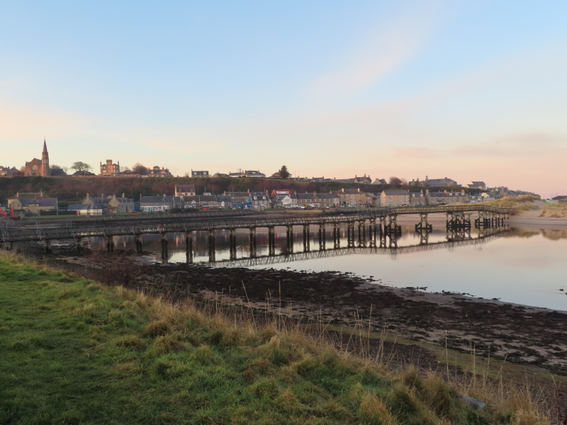
As we go on to discuss, this need to cross water – the River Lossie – to get from the town to the East Beach has, to date, been solved by 2 separate bridges (the first one built in the early 20th Century).
The later bridge, from the Seatown of Lossiemouth, is the one which has had to be closed.
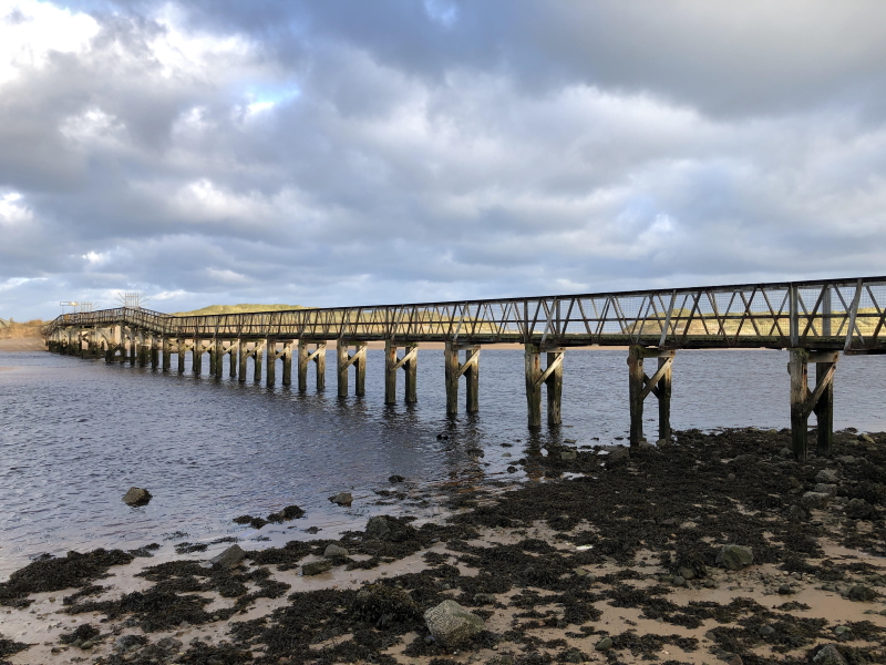
Lossiemouth Community Development Trust (LCDT) have released a short film explaining their efforts first to repair and then replace the bridge.
The story begins in 2014, when LCDT was formed..
As the film sets out, Lossiemouth is home to around 8,000 people.
The people and buildings are protected from the waters of the Moray Firth by stone seawalls – and by magnificent sandy dunes.

Unfortunately, the dunes at the East Beach are only accessible via the solitary footbridge.
As LCDT Chairman, Alan MacDonald, explains, “The Development Trust was formed in late 2014. In early 2015, a five-year plan was put together following consultation with the local community. At the top of the agenda on that plan was the East Beach Bridge which, at that time, was in a poor state and had had no maintenance for the previous 20 years.”
LCDT therefore set about trying to establish the structural safety of the bridge and, at the same time, discover the true ownership of the bridge.
Back in those early days, from 2015 onwards, LCDT had no idea that some years later they would be involved in a major project leading to the replacement of the bridge.
You’d have thought that the question of who owns the bridge would be simple enough to answer.
Especially when it’s something as “important” as a bridge.
However, LCDT were to find the ownership issue was quite a puzzle, in practice.
It turns out that the “original” bridge was in a different location altogether – from the Esplanade to the west end of Lossiemouth East Beach.
That bridge was built in 1908.
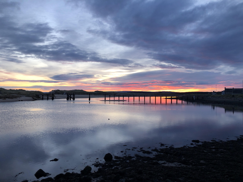
It was then moved in 1918 to its present location at Seatown. (Lossiemouth is an amalgamation of three villages: Stotfield; Branderburgh; and Seatown).
The move was required because the Esplanade bridge was restricting access for boats to the “Old Harbour”, which was upstream of the bridge.
The bridge was owned by a company called the Lossiemouth Old Harbour Commissioners (LOHC).
LOHC ceased to exist by around the middle of the 20th Century, at the latest – which became a bit of a problem for the ownership of the bridge later on.
“Ownerless” property in Scotland generally falls into the ownership of the Crown.
But it does so in such a way that the Crown does not need to do anything with the property if it doesn’t want to.
The procedure for LCDT – over a period of about 18 months – was to negotiate with the person who looks after matters of ownership on behalf of the Crown. They’re called the Queen’s and Lord Treasurer’s Remembrancer (QLTR).
LCDT had to locate and provide to QLTR various documents from public records, including the National Library of Scotland.
The upshot was that QLTR agreed that the ground in question had fallen into the ownership of the Crown. The Crown didn’t want it, though.
On 03 October 2017, the Crown issued a Notice of Disclaimer of Ownership.

Was this progress or a backward step?
One thing was for sure: with no owner in sight, the question “who will own and maintain this bridge?” became intrinsically linked to the question “who will pay for this bridge at all?”
When LCDT had first embarked on the bridge project, they thought (optimistically) that all they had to do was discover who owned the bridge and then guide them as to what they could do to repair it.
By October 2017, of course, it was clear that no one owned the bridge.
LCDT arranged for professional engineering surveys on the bridge to establish the extent of the problems and get a feel for the likely cost of repairs.
The reports were pessimistic. The parapet of the bridge was in very poor repair. It would have to be repaired in full.
From the end of 2017, LCDT had been lobbying politicians for funding. Local councillors and Moray’s MSP were supportive but the amount of money required was too great for there to be any hope of a public appeal raising enough revenue.
Furthermore, though LCDT had legitimate concerns based on the structural surveys, there was no apparent urgency for major works at that stage. The counter-argument was: “The bridge is open; why are you worried about it?“
And there was an even bigger snag.
The wood which supported the parapet was 100 years old. You’d be putting a new parapet on top of wood which was in uncertain condition – particularly the part of the structure which gets submerged by the combination of river and tidal water.
This inability to get to the heart of the structural integrity of the bridge meant no one could reasonably fund a repair to the existing crossing.

Following the closure of the bridge to the public in July 2019 due to safety concerns, oddly enough, the funding stream opened up to an extent.
When it became apparent both locally and beyond that the bridge was closed and no simple alternative access existed, interest increased dramatically – especially when it was clear there was no likelihood of a bridge crossing being re-established any time soon.
Against this background, LCDT continued with their quest to find funding.
Ultimately, The Scottish Government agreed to fund the project, subject to a feasibility study.
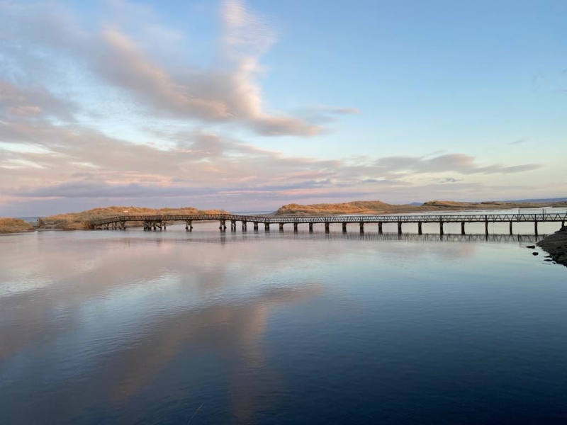
An options appraisal identified three possibilities.
- Firstly, to replace the current bridge in the same position.
- Secondly, to build at a new location downstream of the present bridge but not as far down as the original Esplanade bridge position, or
- Thirdly, to rebuild the bridge in its original 1908 position and provide access from the Esplanade.
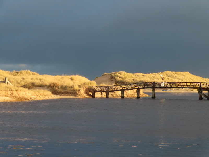
The Scottish Government stipulated that any new bridge had to be “best value”.
In practice, that meant that the shorter the span, the lower the cost.
Unfortunately for the majority of Lossiemouth residents – who would like to see the bridge remain in its present position – the present bridge is one third longer than it would be to build the bridge from the Esplanade. In other words, the costs involved would be at least one third more to rebuild the bridge in its present position.
Given that the “best value“ option was the only one on the table, it was an inevitable decision to build the replacement bridge from the Esplanade.
The whole community has helped in moving the project to the point where a new bridge from the Esplanade to the East Beach – at a cost of £1.8 Million – may be operational as early as April 2022.
You can view the LCDT film below.
You can view the 24/7 livestream below.
Other articles about the East Beach Bridge post-2015
The Lossiemouth Community Development Trust website contains a couple of articles – from 2016 and 2017 – setting out the stage LCDT had reached in terms of research and investigations into the health and ownership of the bridge.
Lossiemouth Seatown Bridge Ownership up for grabs
Lossiemouth Seatown Bridge in failing health report warns
Leave a Reply